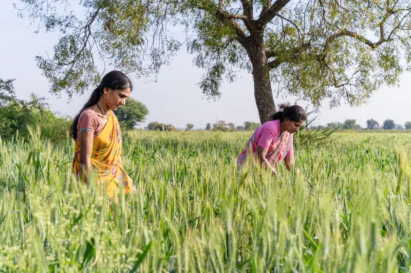
YOUR FIELD, IN YOUR HANDS
Built around the way you farm.
Add a field, keep a crop record, and see your observations through the season.
For farmers → krishyak.
Know what needs a closer look. Bring your field notes, crop photos,
weather and satellite evidence into one simple place.
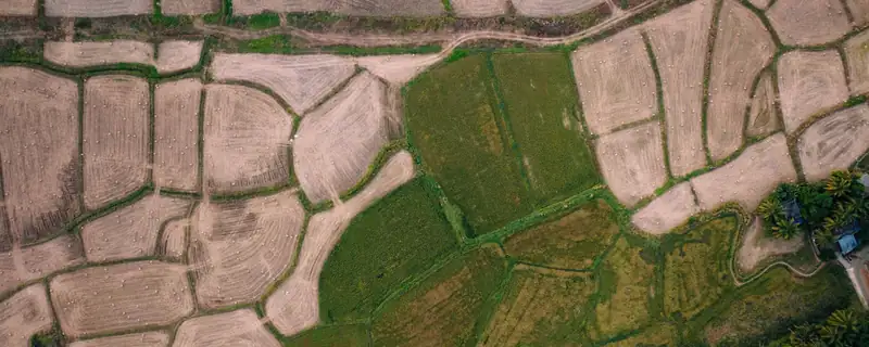
A closer look at vegetation, weather and your own observations.
Open the example field →Illustrative aerial photograph · Ottapalam, Kerala, India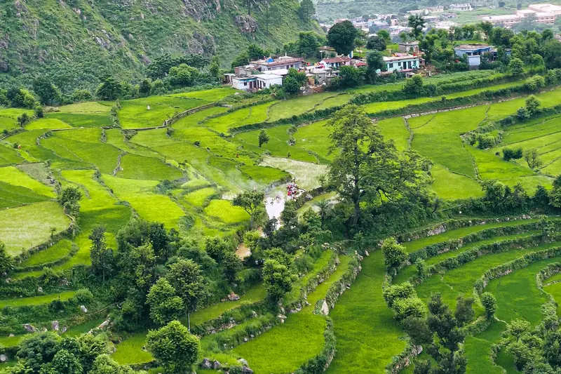 Illustrative landscape · not a satellite observation
A field boundary, a crop and your observations. Keep the season connected to the land it belongs to.
Draw a boundary or start with an area. Mapping can wait.
Start with what matters today. The details are there when you need them.
Add a field, keep a crop record, and see your observations through the season.
For farmers →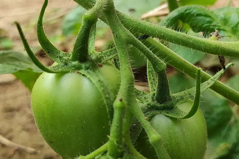
Check a crop photo and keep the result alongside your field notes. Confirm it in the field.
About crop photos →
Reported market observations, with a source, date and unit.
Understand market information →A satellite signal is a reason to inspect. A crop-photo result needs confirmation. A market observation is context, not a promise.
How the evidence works →Choose processing permissions, download your records and clear private data from your device.
Save selected field information on your device. Record notes offline and sync when you reconnect.
Sources and dates stay visible. Field validation and agronomist review remain essential.
Take a look around a demonstration farm, or start keeping your own field records when farm accounts are available.